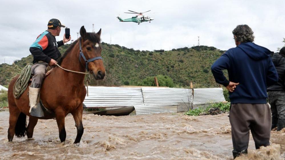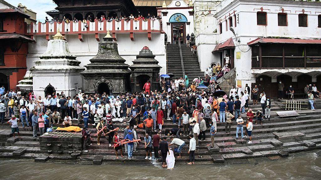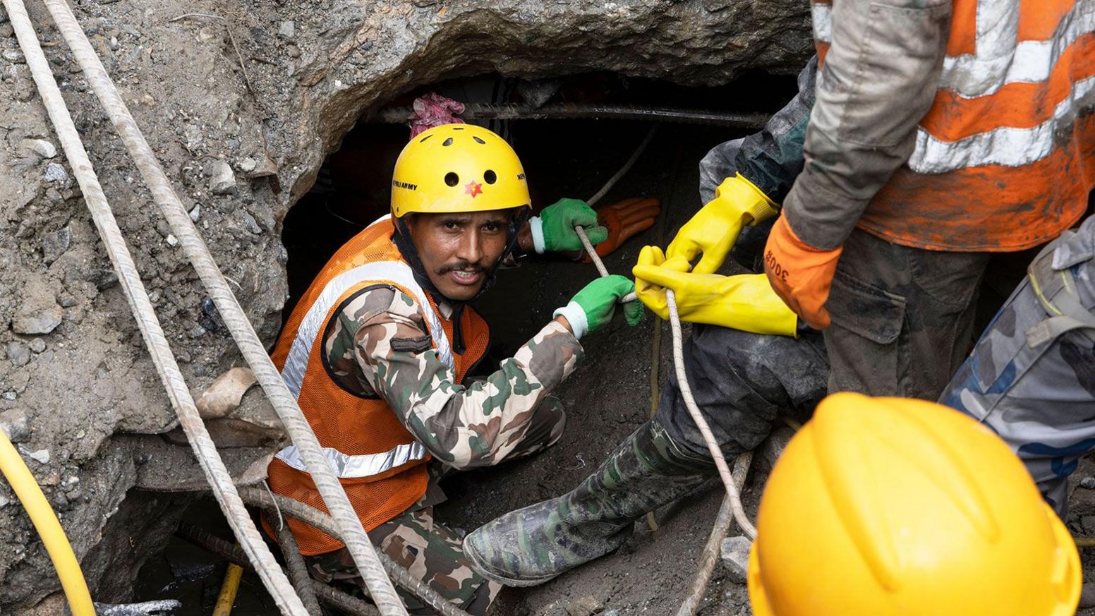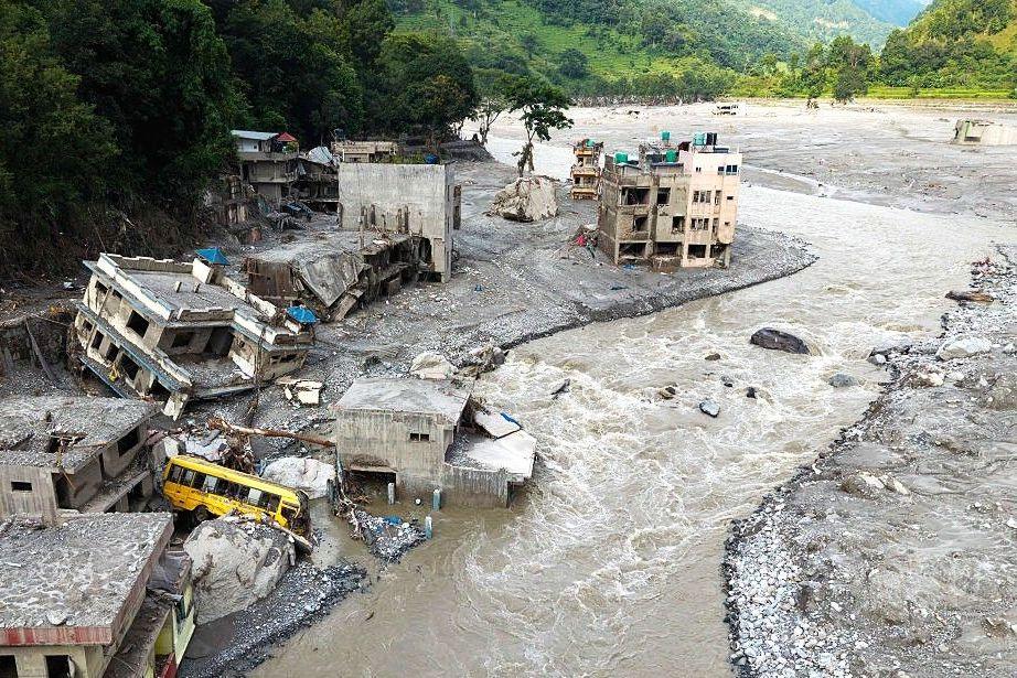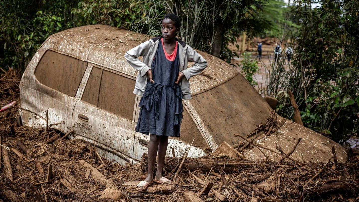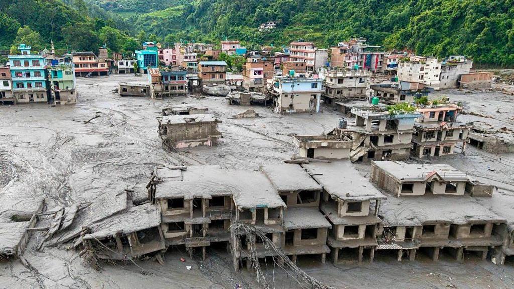
When Nepal’s western border hills flooded in late August 2026, the devastation was immediately felt in India. The 1,000‑plus death toll across the Nepal‑Tibet frontier showed that intense rainfall, storm‑driven landslides, and glacial lake bursts can spill over vast Himalayan river systems into the Indian plains, posing a real transboundary threat.
Shared River Networks
More than 6,000 streams in Nepal drain south into rivers that feed the Ganges; the most significant are Kosi (east), Gandak (centre), Khurich (west) and Mahakali (border). Many of them have shallow, steep catchments in the Siwaliks and Chure, which can turn heavy monsoon rain into flash floods that carry enormous sediment loads.
India’s Vulnerable States
Bihar, where 75 % of the northern district is designated flood‑prone, is the most exposed because about three‑quarters of its major rivers originate in Nepal, most notably the Kosi and Gandak. Uttar Pradesh’s eastern districts and Uttarakhand’s Mahakali spillways are also at risk, while North Bengal and parts of East Nepal’s Terai face similar exposure.
Who Determines Severity?
Scientists describe flood severity as a three‑part chain: (1) where and how much rain falls in Nepal; (2) how the rivers behave in the mountainous transition; and (3) what Indian infrastructure and conditions encounter the water. While the peak flow at the border is largely Nepal‑driven, the damage is governed by embankment integrity, Ganges water levels, and the adequacy of drainage in affected districts.
Lessons from 2008 and 2026
The 2008 Kosi breach showed that a structural failure—an eroded embankment—could unleash a disaster even when flow was only 10 % of river capacity. The 2026 floods amplified that lesson: sudden outbursts at higher elevations rapidly piled sediment and rock onto the plains, creating fast‑moving, high‑energy mudflows that traditional flood monitoring can miss.
Early‑Warning Gaps
With real‑time rainfall and river‑level data shared between Nepal’s Department of Hydrology and India’s Central Water Commission, there is roughly a 12‑hour to two‑day lead time for monsoon floods. However, fast‑flowing Chure catchments lack enough gauges, and joint forecasting models are still absent. Moreover, even if a warning reaches a district office, it may not reach households in time.
The Bigger Picture
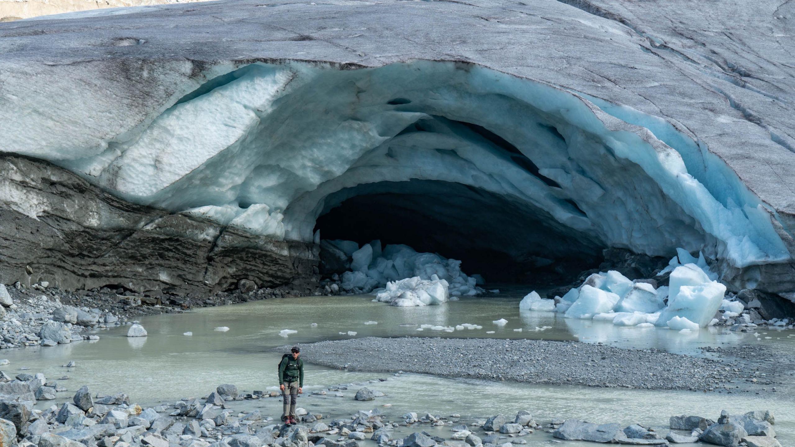
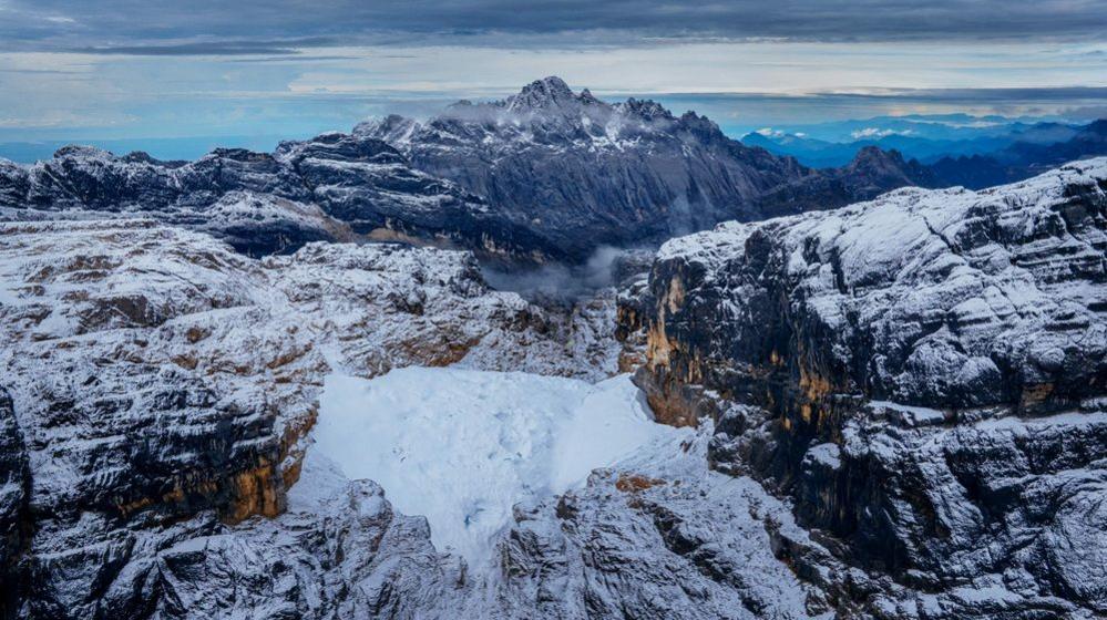
Beyond simple water, the true danger is a combination of rain, melting ice, and debris that creates a thick slurry capable of destroying infrastructure and people in seconds. Himalayan climate change is intensifying rainfall, weakening permafrost, and increasing glacial lake outbursts, heightening the frequency of such high‑energy floods.
Moving Forward
Experts call for joint monitoring of glacial lakes, better maintenance of embankments, and a shared predictive model that links upstream rainfall to downstream flooding. Only through cooperation can Nepal and India reduce the shared risk of catastrophic floods and protect millions of lives along the Himalayas’ rivers.