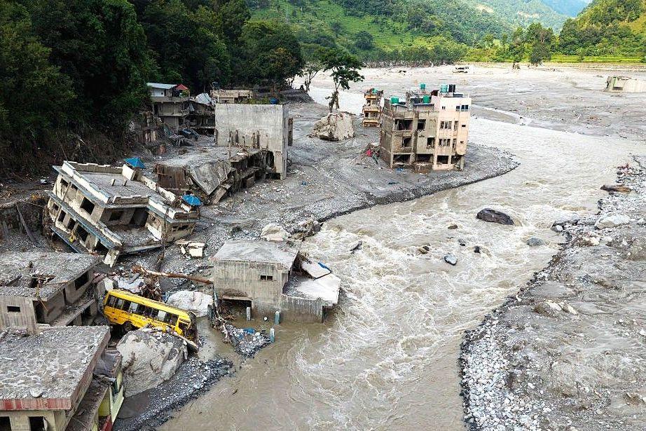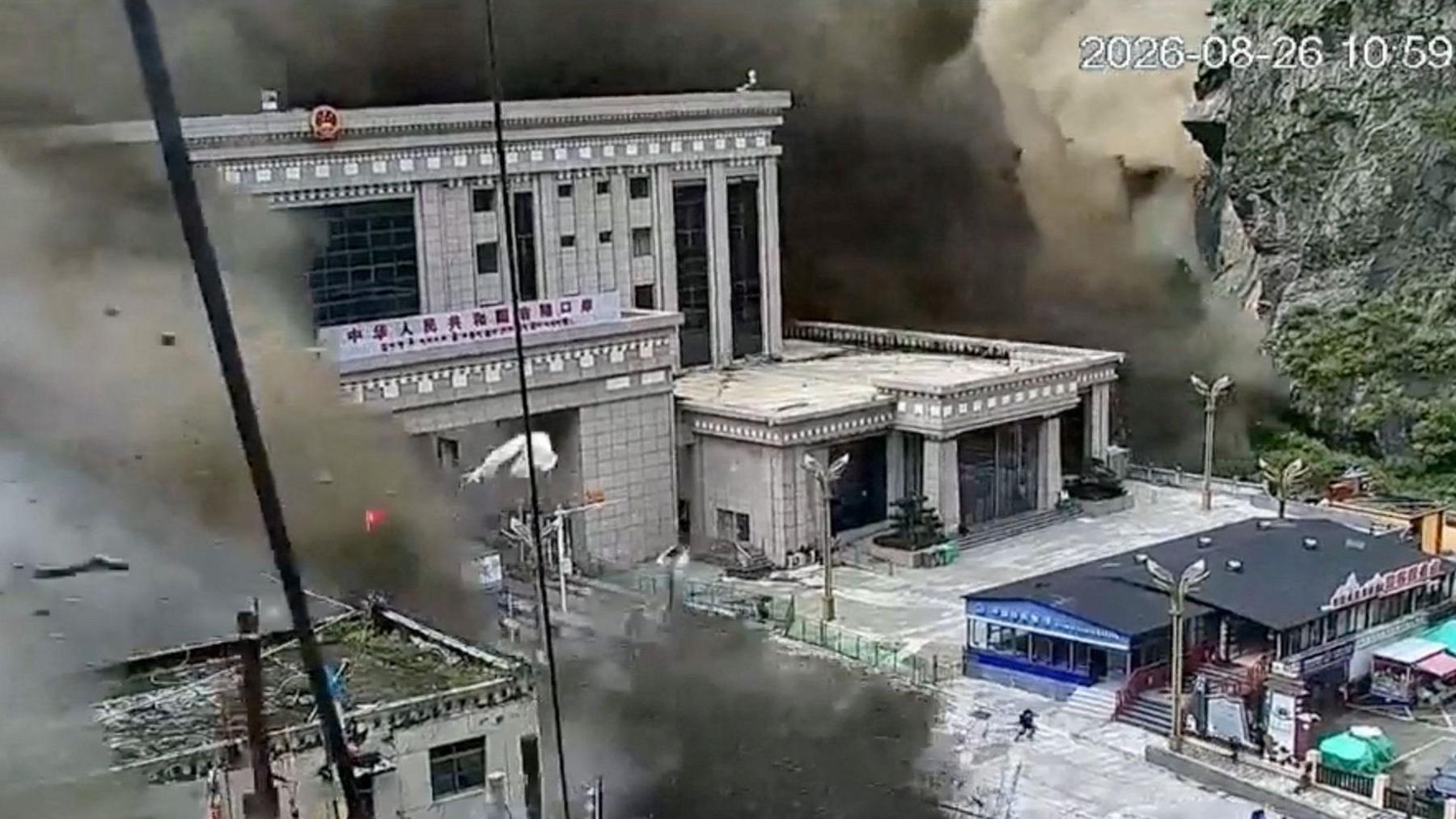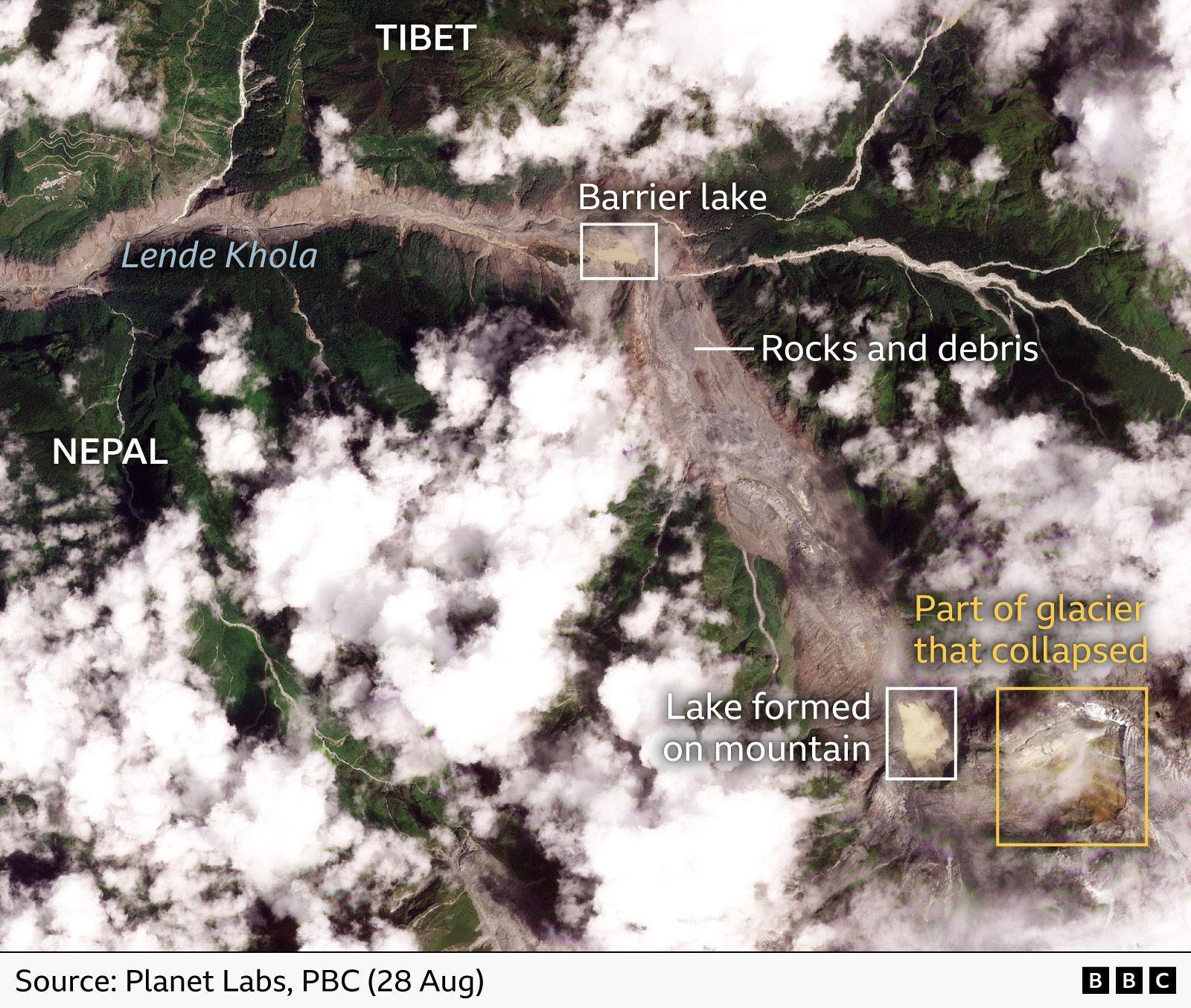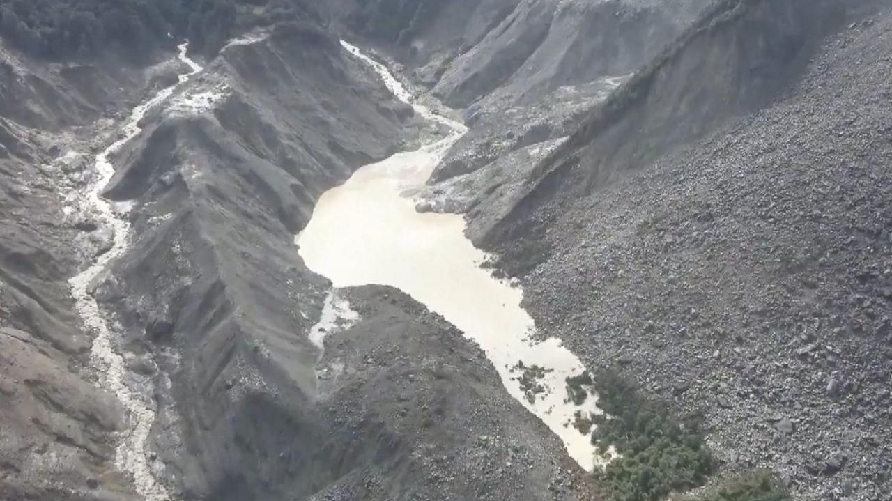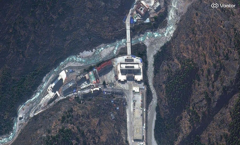
On 26 August, an instantaneous torrent of water and debris struck the remote Nepal‑China border settlement of Gyirong, obliterating the border complex and killing or injuring dozens of people. CCTV footage captured the moment the dark wall—initially a cloud‑like mass—began to surge downstream, carrying mud, boulders and even small ice shafts into the valley.
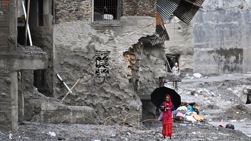
Satellite images before and after the flood show the border post largely demolished, with buildings and vehicles swept away and the river channel widening dramatically. The tragedy unfolded just after 10:59 am local time, a time the same as the last recorded immigration transaction at the neighbouring Rasuwagadhi checkpoint, which had stopped about eight minutes earlier.
At Rasuwagadhi, the Nepalese immigration office had cleared 89 individuals the previous day, and a tenth of the staff–four officials, including the office head – went missing. The head’s body was recovered downstream, but the female official who had recorded the final transactions remains missing. The UN and government officials estimate that the actual number of people who died might be considerably higher than the 100‑odd officially documented — several witnesses cited 2,000 to 2,500 people caught in the flood, though the figure is unverified.
Among the dead or missing were Indian pilgrims, Chinese customs officers, and a group of 77 tourists affiliated with the Isha Foundation returning from Mount Kailash, all of whom reportedly vanished with the rushing waters. Indian foreign ministry officials confirmed that at least 275 Indians remain missing in Nepal.
Rebuilding the border infrastructure is crucial; the Gyirong–Rasuwagadhi corridor is a key trade artery that handles roughly a third of Nepal’s trade with China and transports 80% of its electric‑vehicle imports. In the wake of repeated flooding incidents, the region’s dependence on a single passageway has sparked calls for alternative trade routes and better flood‑management infrastructure.
Several weeks after the disaster, the Chinese National Bureau of Survey and Mapping and Nepal’s Centre for Hydrology and Water Resources Research indicate that the torrent was triggered by a sudden collapse of the eastern glacial face at the valley head, occurring within minutes. The flood’s speed—reported as reaching the border in about seven minutes—underscored the urgency of rapid response protocols and early warning systems for the rest of the Himalayan border region.
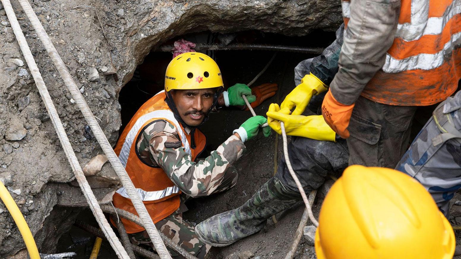
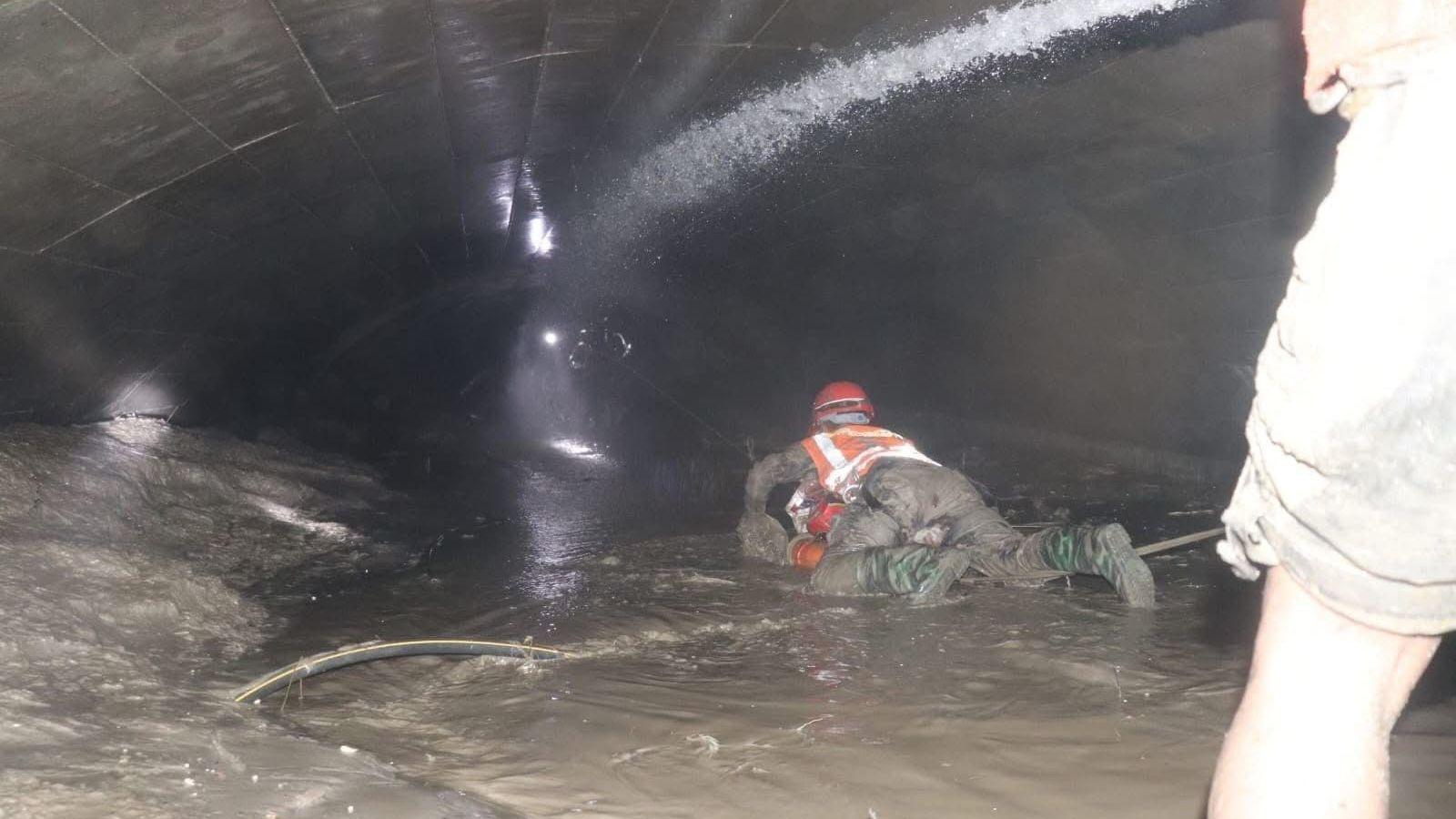
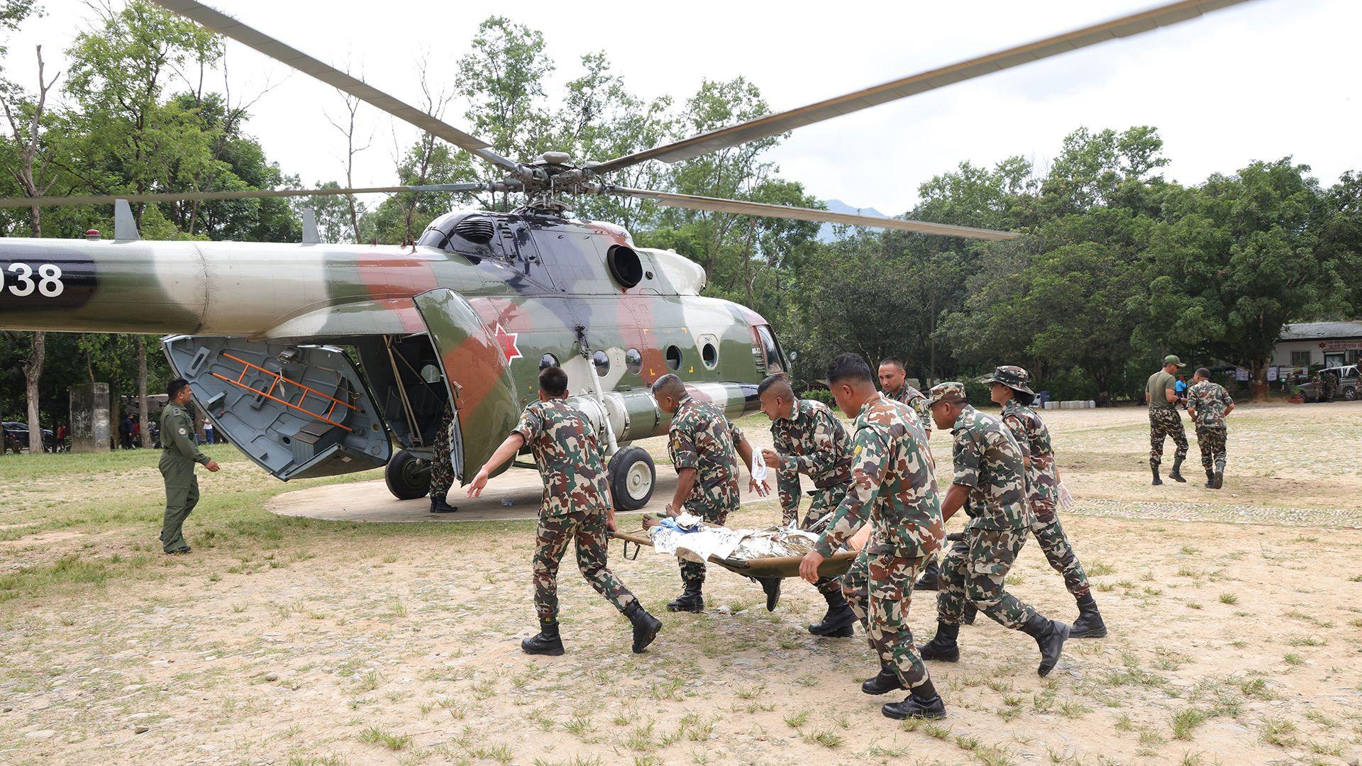
Rescue operations have been staged by Chinese and Nepalese teams; a 21‑member Chinese rescue crew reached Gyirong on 28 August, describing the site as “nothing but ruins.” The isolation of the crossing—about 1.5 km from the immigration office and 2 km from the Friendship Bridge—has hampered immediate deployment. The closure of the route has already redirected traffic to alternative places like Tatopani, which itself had been temporarily shut because of comparable landslide risk.
In the aftermath, officials underscore the need to divest from modeling-intensive borders and prioritize disaster resilience, including installing better flood‑gates, strengthening bridges, and conducting routine geological surveys in high‑risk zones. The tragedy highlights the fragility of global supply chains that depend on a single border corridor and the power of nature to disrupt economic lifelines across countries that share culture and trade.